The DIRT
Name: Ottawa Valley Overland Route
Distance: 443 Kilometers
Duration: 2-3 days depending on speed of travel
Rating: A mix of class 2, 3 and 4
Accommodations: Camping
Creator: Gravel Travel Canada
Location: South Eastern Ontario
The OVOR is a great way to get out and explore the back country of south eastern Ontario. A two to three day trip that travels scenic roads and easy trails, this route is popular for a reason. The route offers a feeling of remoteness without ever being more than a few dozen kilometers from a town of paved highway. A great trip for locals to do on a weekend or folks travelling to the area to get a nice taste of what the area has to offer.


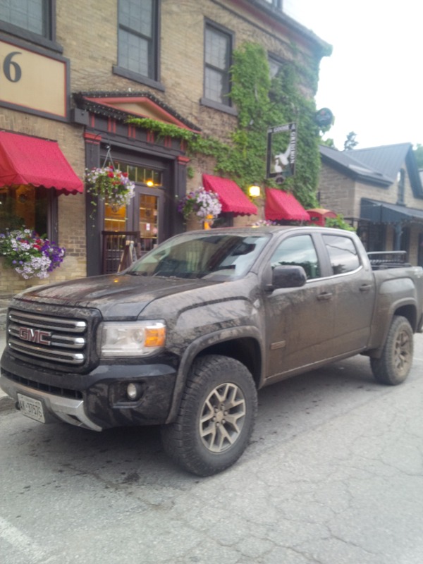
The route starts at the Canada/USA border. Right from the start you leave civilization behind as you as the route begins on an old abandoned rail way. An hour or two of easy trails and gravel roads brings you to the small town of Merrickville. A nice place to stop for breakfast, we recommend the Mainstreet Cafe for an affordable meal. Merrickville is a World Uniseco Site and is popular with tourists. The town is a gem of a place to wander around in the shops, sit on a patio with a coffee or have a meal in one of the pubs or restaurants.
The route heads north on gravel roads and passes through the towns of Carelon Place and Almonte before it heads into the "Lanark Highlands". A series of trails and roads twist their way threw the hills and forest f Lanark county before you get to the small town of Ompah. A general store and gas station along with a collection of cottages make up this small hamlet.
Into the North Fronetenac Park, this park is home to some of Canada best back country trails and roads. For the hardcore offroader trails like Quinns can be found inside the park. The OVOR utlizes a series of trails to get through this area. A permit is required ( http://www.northfrontenacparklands.com/index.php?option=com_content&task=view&id=53&Itemid=65 )

We highly recommend camping at Granite Lake, a reservation is required as it is popular and for good reason. Crystal clear water, nice camp spots and great swimming. This is about the halfway marker of the route for those doing it in two days. After a long day on the route, a swim in Granite Lake is a nice way to end a day before sitting around a campfire.

Don't put your camera way as the route heads north with some nice scenic views. The route passes by a formal campground called Black Donald campground which has fuel and limited supplies.
A series of gravel roads brings you to the small town of Killaloe. Food, fuel, liquor, etc can all be found here. This is a logical place to stop for lunch for those doing this route in two days.
A short stretch of highway (highway 60) brings you to the town of Barrys Bay before the roads heads north on some remote trails. This is the last stretch of the route and takes most folks approximately 2-4 hours.
The route ends in the town of Round Lake. There are a few options for camping in this town. A private campsite called Lavairs and a provincial campground called Bonnechere. We recommend reservations during the busy summer months.